


Sept. 24, 2024 | 12:10 p.m.
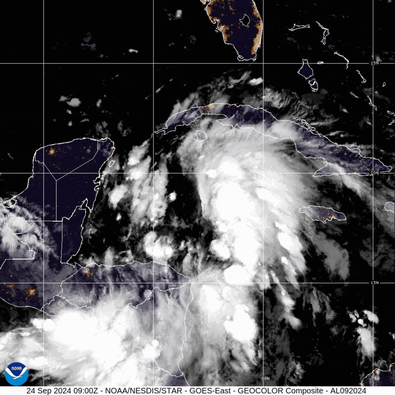
No longer Projected Tropical Cyclone Nine, Tropical Storm Helene has formed over the northwestern Caribbean Sea.
The projected path of the storm still shows it going east of Okaloosa County, hitting in Florida’s “big bend,” making landfall as a major hurricane at 7 p.m. CT on Thursday.
Current rainfall projections from the National Hurricane Center show Santa Rosa County receiving somewhere between 2 and 4 inches of rain.
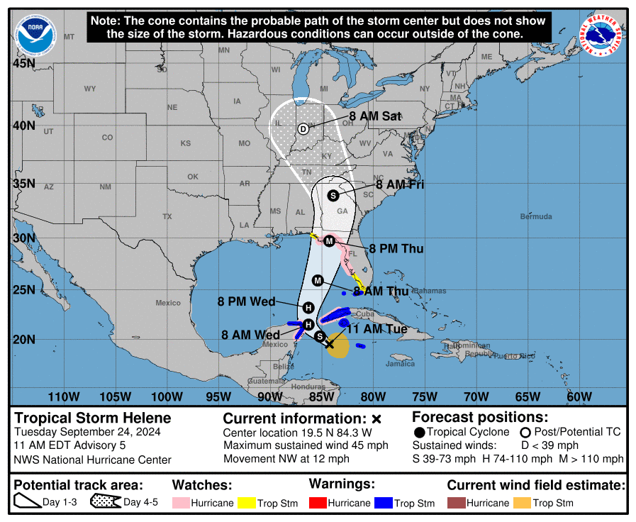
The NHC expects the storm to strengthen as it makes its way through the Caribbean Sea. Here’s information from their latest advisory:
A northward to north-northeastward motion at a faster forward speed
is expected on Wednesday and Thursday.  On the forecast track, the
center of Helene will move across the far northwestern Caribbean
Sea through tonight, and then move across the eastern Gulf of
Mexico Wednesday and Thursday, potentially reaching the Gulf coast
of Florida late Thursday.

Data from an Air Force Reserve Hurricane Hunter aircraft indicate
that the system has acquired a well-defined center of circulation,
and maximum sustained winds have increased to near 45 mph (75 km/h)
with higher gusts.  Additional strengthening is forecast, and
Helene is expected to become a hurricane on Wednesday.  Continued
strengthening is anticipated after that time, and Helene could
become a major hurricane on Thursday.